Botley Centre SPD
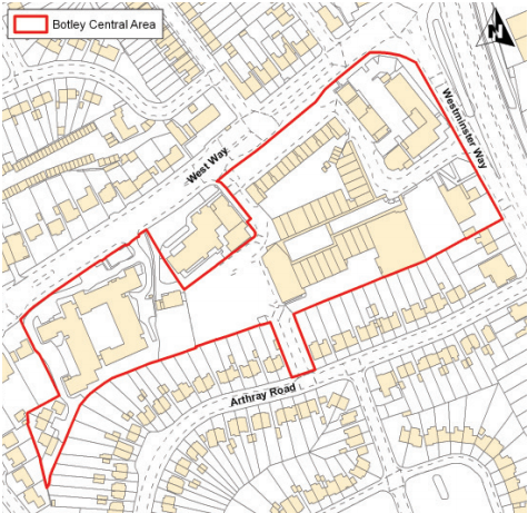
Local Plan 2011 Map of Botley Centre (blue area)
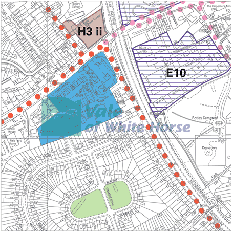
Local Plan 2031 Map of Botley Centre
I’ve been studying what the experts say about the rules of writing a Supplementary Planning Document, or SPD.
The Botley Centre SPD has some problems. One is the boundary used to define Botley. Botley isn’t a real place, as I argued when they re-drew the Vale boundaries and created my new ward, Botley & Sunningwell. Botley is a geograhical area without a firm boundary defined; it’s not a parish. It includes most of North Hinksey Parish (arguably all of it, depending on who is arguing) and part of Cumnor Parish. It also could be argued that the part of Oxford City along the Botley Road west of Oxford is also Botley. There is also ‘Old Botley’, where North Hinksey Lane meets Botley Road.
The SPD is supposed to give more detail of policies in the adopted Local Plan 2011. Instead, it is formed mostly based on Local Plan 2031, which isn’t adopted yet, nor even examined.
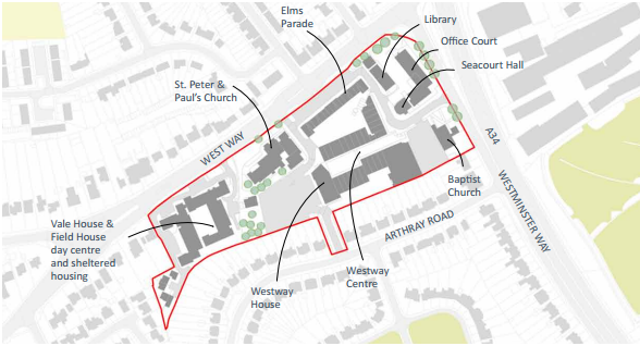
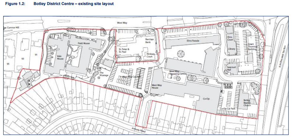
Here are 4 maps of Botley: Local Plan 2011, Botley Centre SPD, and Local Plan 2031.
And then…
Just for giggles, I’ve dug out the map of Botley District Centre from the failed Doric planning application. Notice it’s identical to the map in LP2031.
Botley District Centre – map from Doric’s failed planning application